Coastider monitoring
The purpose of Coastrider water quality surveys is to produce new, proven knowledge about the state and function of coastal waters. In concrete environmental management, the information produced using the Coastrider-method is used to target water management measures and to monitor their impact.
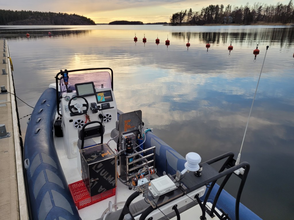
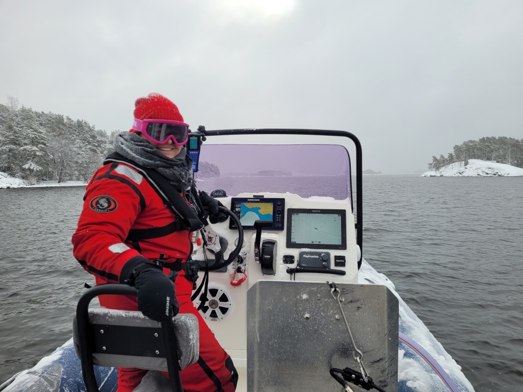
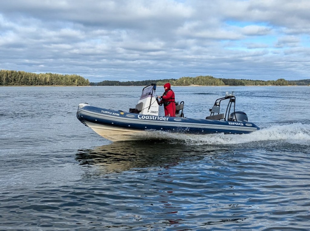
Coastrider is a freely scalable and reproducible measurement platform. With the help of this platform, empirical water quality information can be produced, completely tailored to its purpose. The variation in values of the most central water quality variables can be measured in both vertical and horizontal directions in a very cost-effective way – virtually anywhere and at any time.
The information produced by the Coastrider methodology is needed to supplement the perception of the quality and variability of coastal waters, which otherwise is based on a network of fixed measuring stations, satellite observations and derived models and interpolations. The Coastrider measurements should therefore – together with data from other sources – constitute a comprehensive and representative sample of the spatial and temporal variation in water quality in the coastal water zone (which constitutes an estuarine continuum). The basic purpose of this is to increase knowledge about the structure and function of this entity also in an academically new way. This provides a robust basis for concrete water management based on the latest proven knowledge.